
Activities
TRANSGEO is a specialised company providing engineering and consulting services. Our main fields of activity are the study and design of railway lines and stations, roads and buildings, cadastre and geodesy, and consultancy under the Spatial Development Act — conformity assessment of investment projects and construction supervision.
FIELD 01
Investment design
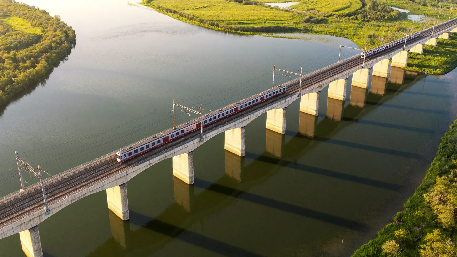
TRANSGEO’s core activity is the investment design of railway lines, roads, buildings, road and railway facilities. The company specialises in the design of railway lines and their adjacent facilities — in all phases and parts of the investment project.
Geotechnical survey of the subgrade
Geodetic surveying
Track optimisation design
Design of small facilities
Design by parts: signalling and telecommunication installations, electrical, traffic organisation and safety, health and safety plan
Establishing temporary and permanent benchmarks
Preparation of as-built documentation
Designer supervision
SELECTED PROJECTS
ALL PROJECTS-
Modernisation of the railway section Septemvri – Plovdiv
National Railway Infrastructure Company (NRIC)
July 2011 – November 2016
-
Technical assistance for the development of Sofia Railway Junction (Corridors IV, VIII, X)
Ministry of Transport, Information Technology and Communications
September 2009 – November 2010
-
Technical assistance for the upgrading of the Vidin – Sofia railway line
Ministry of Transport, Information Technology and Communications
September 2007 – October 2009
-
Technical assistance for rehabilitation of the Ruse – Varna railway line (TEN-T)
National Railway Infrastructure Company (NRIC)
June 2009 – August 2010
-
Rehabilitation of the railway section Plovdiv – Burgas, Phase 2
National Railway Infrastructure Company (NRIC)
since July 2014
-
Overhaul of tunnel No. 3 on the third main railway line (engineering)
National Railway Infrastructure Company (NRIC)
November 2008 – September 2010
FIELD 02
Geodesy, cadastre and regulation
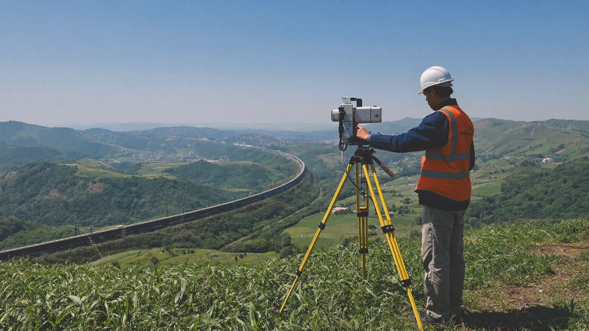
In the field of geodesy and cadastre TRANSGEO carries out activities from the creation of geodetic networks to cadastral maps and regulation plans.
Creation of geodetic networks with local function
Working geodetic base of settlements and special sites
Preparation of cadastral maps and cadastral registers
Preparation of specialised maps and plans
Plans of underground and above-ground utilities and facilities
Deformation surveys of television towers, antenna masts, bridges and other critical facilities and buildings
Preparation of detailed development plans and regulation plans
WHAT WE WORK WITH
We work with modern geodetic equipment — dual-frequency GPS receivers, total stations, including a reflectorless one, and a digital level. Measurements are processed and digital models created with licensed software products, including the in-house TG Cad program.
SELECTED PROJECTS
ALL PROJECTS-
Control geodetic measurements of the construction of the Danube bridge at Ruse
NRIC — PEPZhI Ruse
2002
-
Geodetic survey of RRTS Snezhanka, Sheinovets, Botev, Orelyak and Viden
BTC EAD — Radio and Television Stations
2002
-
Cadastral map and cadastral registers of the Vazrazhdane district, Sofia Municipality
Geodesy, Cartography and Cadastre Agency
August 2014 – June 2016
-
Cadastral map and registers of the NRIC land along the III railway line route to Karlovo station
National Railway Infrastructure Company (NRIC)
December 2008 – November 2011
-
Reconstruction and electrification of the Plovdiv – Svilengrad railway line, section Harmanli – Svilengrad
National Railway Infrastructure Company (NRIC)
January 2012 – May 2016
-
Detailed development plans and technical designs for the modernisation of the Sofia – Plovdiv railway line
National Railway Infrastructure Company (NRIC)
January 2015 – June 2017
FIELD 03
Construction supervision
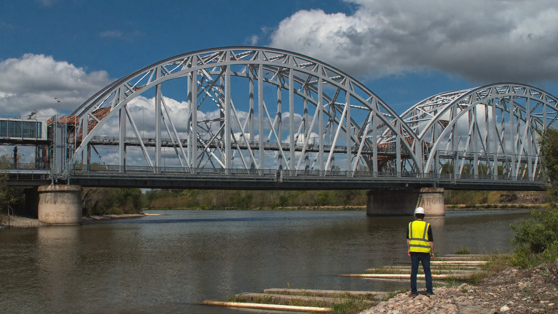
In its capacity as a consultant under the Spatial Development Act, TRANSGEO prepares comprehensive conformity assessment reports on the investment project’s compliance with the essential requirements for construction works, coordinates the design documentation with the control authorities until a building permit is obtained, and exercises construction supervision during construction.
LICENCE No. LK-000133
14.07.2004
Consultant under the Spatial Development Act
SUPERVISION ENSURES
Lawful commencement of the construction
Completeness of the deeds and protocols drawn up during construction
Execution of the works in accordance with the approved investment project
Compliance with occupational safety requirements
Protection of the environment and prevention of damage to third parties and properties
Use of quality construction materials and products
Fitness of the construction for commissioning
The technical passport and the documentation for issuing a use permit
SELECTED PROJECTS
ALL PROJECTS-
Conformity assessment and construction supervision: Rehabilitation of the station complex of Central Station Sofia, Phase 1
National Railway Infrastructure Company (NRIC)
August 2013 – October 2017
-
Supervision: Construction of an optical cable network and digital equipment on the fifth railway line Radomir – Blagoevgrad
National Railway Infrastructure Company (NRIC)
since July 2016
-
Supervision: Engineering of the signalling equipment at the stations along the third main railway line — replacement of track circuits with an axle counter system
-
Terminal (loading platform) at Zimnitsa, Straldzha municipality
SE Transport Construction and Recovery
August 2006 – September 2006
IN-HOUSE SOFTWARE
In-house software
TG Cad
TRANSGEO has developed its own software for railway design and for creating cadastral maps and registers. The TG Cad program is designed for creating cadastral and specialised maps and registers in digital form according to the requirements of the Law on Cadastre and Land Registry, and runs in an AutoCAD environment.
QUALITY
Integrated management system
TRANSGEO works under an integrated management system with the following scope: investment design, cadastre and geodesy, consultancy under the Spatial Development Act, development of specialised software.